Real-time satellite monitoring

Wildfire prevention in Cochabamba

FIRMS, GFW and GWIS satellite data fused with AI to detect heat spots and protect Tunari Park.

30 min
Update latency
6
Fused satellite sources
100%
Bolivia coverage

Project Overview

The goal of !Scarlet for the city of Cochabamba is to help protect the 2.42 million hectares of intact forest. -In 2024 alone, around 6,200 hectares were burned-

Species at Risk

At least 560 threatened species.

Natural Forest at Risk

At least 280 Mha of natural forest hectares threatened.

Carbon Emissions

156 Million mT*

*(metric tons of CO2)

Increase in Fire Alerts

Between May 27, 2024, and May 26, 2025, there were 403 VIIRS alerts

Percentage of Forest Lost

11%

Active heat detections

Viterbi classification over near-real-time satellite data

Classification

  • Confirmed
  • Candidate

Intensity (FRP)

  • Low (under 15 MW)
  • Medium (15 to 50 MW)
  • High (50 to 150 MW)
  • Extreme (over 150 MW)

Data: NASA FIRMS (VIIRS and MODIS), GWIS-JRC. Updated every 30 minutes.
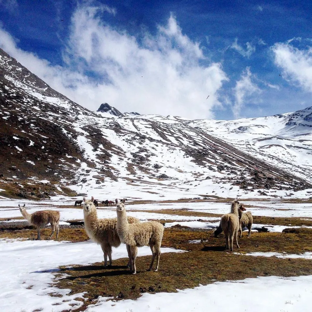
Llamas grazing in Tunari National Park, Cochabamba

the impact

From 2001 to 2023, Cochabamba lost 289 kha of tree cover, equivalent to an 11% decrease in tree cover since 2000.

See more
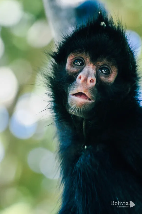
Wild monkey in the forest of Tunari National Park

Project Progress

Illustration of a cement head eroded by weathering
60% of 100% of the goal
40% remaining

The challenge: stopping forest fires

Providing appropriate information in the shortest possible time to relevant entities fighting fires will make fires a problem easy to control and prevent.

the reason: great loss of biodiversity

From 2002 to 2023, Cochabamba lost 127 kha of humid primary forest, representing 46% of its total tree cover loss in the same period...

How it will be done: With Real-time Maps and AI

This project implements the use of underutilized technologies in our region to unify them under a single application...

Organizations that trust us

For our features and the performance they offer at a low maintenance cost.

“I hand the application over to the firefighters so they can get better control of fires in record time"

First step

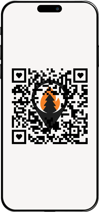
Scan the QR code and start using !Scarlet

Or press the button below to download the APK. If you still have questions, check our information section about the app

Learn more
QR code to download the !Scarlet app
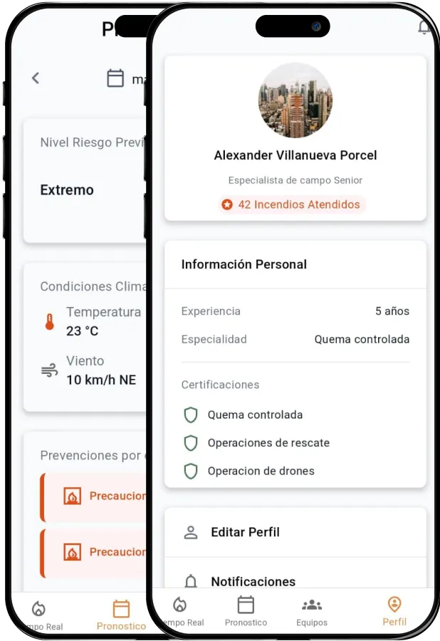
!Scarlet app screens showing the real-time fire map

Second step

Information about fires in real time

See weather conditions in real time, new risks depending on the climate, and future fire predictions

Third step

Find out about possible future fires

With the features built specifically to make this application as complete as possible.

  • Fire prediction
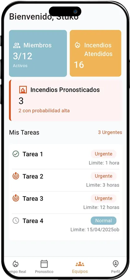
  • Staff management
  • Task management
  • New fire alerts
  • Encrypted sensitive data
  • Constant sampling (NRT)
!Scarlet app screens for staff and task management
60K+
Firefighters
20+
Organizations
400+
Fires per year
12M
People in the country
~5M
Hectares burned every year
~10M
Animals killed by fires